Garden Route in 10 Days by Car: Cape Town to Gqeberha
Ten days from Cape Town to Gqeberha by car: Franschhoek, Hermanus, Route 62, Outeniqua Pass, Knysna, Bloukrans Bridge and Addo, 1,042 km in all.
Between Swellendam and George the quick road is the N2. This route leaves it for Route 62 across the Little Karoo, which costs time and buys a night in Oudtshoorn and a morning at Cango Caves. In all it’s 1,042 km over ten days from Cape Town to Gqeberha, past the winelands, the Hermanus coast, the Outeniqua Pass, Knysna, Bloukrans Bridge and the elephants of Addo. Only days 5 and 9 run past 220 km, each close to three hours at the wheel; the other seven are under two hours each.
Ten days, 1,042 km
Distances and times are pure driving time from the OSRM road router on 16 November 2026, with no stops or traffic, so add the hours you spend out of the car.
| Day | Drive | Distance | Time at the wheel |
|---|---|---|---|
| 1 | Cape Town, no car | - | - |
| 2 | Cape Town to Franschhoek | 75 km | 57 min |
| 3 | Franschhoek to Hermanus | 93 km | 1 h 19 min |
| 4 | Hermanus to Swellendam | 143 km | 1 h 49 min |
| 5 | Swellendam to Oudtshoorn | 221 km | 3 h 1 min |
| 6 | Oudtshoorn over the Outeniqua Pass to Wilderness | 74 km | 1 h 11 min |
| 7 | Wilderness to Knysna | 48 km | 46 min |
| 8 | Knysna to Storms River, past Bloukrans Bridge | 94 km | 1 h 20 min |
| 9 | Storms River to Addo | 223 km | 2 h 52 min |
| 10 | Addo to Gqeberha | 70 km | 1 h 15 min |
The whole route is 1,042 km and about 14 hours 28 minutes at the wheel.
The car, the licence and the airport road
South Africa drives on the left, and you’ll sit on the right. The UK Foreign, Commonwealth & Development Office (FCDO) says holders of a UK photocard licence can drive in South Africa for up to 12 months, and that holders of the old paper licence need the 1968 version of the international driving permit; it also warns that hire companies often set stricter conditions, such as a year of experience and a higher minimum age. If your licence is from the US or the EU, it’s worth asking the rental company which documents it wants before you book. The car-hire guide walks through deposits, waivers and the inspection at collection, and the before-you-go checklist deals with the passport and the customs declaration. The Cape Town guide covers the city days.
This is a one-way route: collect the car in Cape Town on day 2 and drop it at Gqeberha on day 10. We chose that over a loop because the road back from Gqeberha to Cape Town is 751 km and nearly nine hours by road, a day or two you’d rather spend on the coast. The cost is the one-way fee, which the hire company sets and shows in the quote; compare it with a flight from Gqeberha before you decide. Don’t pay for a car on day 1. Damage to the hire car is a question for the rental agreement first, and a travel policy may not cover it at all; the safari and travel insurance guide keeps the two apart.
The FCDO reports targeted attacks on visitors driving hire cars to and from Cape Town airport and tells drivers to stay on the M3 and N2 rather than the R300; the Cape Town guide has the rest of that advice, checked on 16 November 2026. Collecting in the city on day 2 means you don’t drive that stretch in a hire car on the day you land, and it keeps the city day free of parking.
Day 1: Cape Town
Keep day 1 car-free. One day is the minimum: if the mountain matters to you, stretch the stay to the four nights the Cape Town guide suggests before you collect the car, because a single day leaves no spare if the cableway is shut. For the airport run, use a licensed taxi or a ride booked through the official app, as the FCDO advises. Walkers should read the Table Mountain cableway guide, which carries the FCDO’s warning about trail attacks and its advice on routes and group size.
Day 2: Cape Town to Franschhoek
Collect the car and take the N1 and the R45 east to Franschhoek, 75 km and 57 minutes. The Cape Winelands guide covers the estates and which villages to put in the same day, so the drive itself is the least of it. Sleep in Franschhoek, park the car at your guesthouse before the first tasting, and let the Wine Tram do the driving between estates.
Day 3: Franschhoek to Hermanus
The road goes over the mountains on the R45 and R43, 93 km and 1 hour 19 minutes, down to the coast. Hermanus is the place to watch whales from land: the organisers of its Whale Festival, held on 2-4 October in 2026, call that “peak whale season” and point visitors to “the famous cliff paths”. That puts early October in the peak; at other times of year, ask the local tourism office what’s been seen before you build the day on it. Park once and walk the cliff path. Boat trips from Hermanus, and the shark-cage boats at Gansbaai further along Walker Bay, are compared in whale watching and shark cage diving.
Day 4: Hermanus to Swellendam
Back inland: 143 km and 1 hour 49 minutes by the R43, the R326 and then the N2. Swellendam is the last town before Route 62, so fill the tank and buy water. Bontebok National Park lies on the town’s outskirts. May 2026 floods washed away its trails along the Breede River and its viewing decks; SANParks began a phased reopening on 1 August, and on 1 September 2026 the environment minister said the park was open, with two trails (Bushbuck and Ou Tuin) and the picnic site still under repair, so check SANParks’ notices before you detour. It’s a short day on purpose, because tomorrow isn’t.
Day 5: Swellendam to Oudtshoorn on Route 62
This is the longest drive of the route by time: 221 km and 3 hours 1 minute. The road takes the N2 and the R324 out of Swellendam, then stays on Route 62 (the R62) for 175 km of the total. Leave early. You don’t want to reach Oudtshoorn at dusk. The FCDO says carjacking and robbery are common after dark, particularly at traffic lights, junctions, petrol stations and driveways, so plan to be in the car park of your guesthouse before the light goes.
Day 6: Oudtshoorn, over the Outeniqua Pass, to Wilderness
Spend the morning at the Cango Caves, which the Oudtshoorn municipality runs. Its visitor page lists a Heritage tour every hour on the hour from 09:00 to 16:00 and an Adventure tour on the half hour from 09:30 to 15:30, open to ages 8 to 80 and at least 1.3 m tall, and not for anyone claustrophobic. It says to book in advance, and the caves are closed on 25 December. Cango Caves are 29 km north of town on the R328, so the morning adds roughly 57 km and an hour of driving there and back before the day’s 74 km. Then drive the N12 over the Outeniqua Pass and down through George to Wilderness: 74 km and 1 hour 11 minutes. After Route 62 the climb and descent is a short, easy afternoon, with the sea in front of you at the bottom. Sleep at Wilderness.
Day 7: Wilderness to Knysna
The shortest driving day: 48 km and 46 minutes. Knysna’s tourism site pictures boats sailing through the Knysna Heads and sends walkers and cyclists to the forest trails, so use the spare hours for one of them, and book nothing you can’t cancel. A slow day in the middle is what keeps the week from feeling like a transfer.
Day 8: Knysna to Storms River
Knysna to Plettenberg Bay is 34 km, Plettenberg Bay to Bloukrans Bridge 37 km and the bridge to Storms River 23 km: 94 km in all, 1 hour 20 minutes, so there’s time to stop for all three. At Plettenberg Bay, CapeNature’s Robberg reserve is 8 km south of town and has three trails from a 30-minute stroll to a four-hour hike. Bloukrans Bridge carries the N2 216 m above the Bloukrans River. Face Adrenalin runs the bungy jump there and also a guided SkyWalk along the arch of the bridge, no jump required, open from age 8; book ahead and check the operator’s page for prices and times.
Storms River sits in the Tsitsikamma section of the Garden Route National Park, and SANParks lists suspension bridges at Storms River Mouth. If you go, SANParks charges a conservation fee of R422 per international adult (12 and over) and R211 per child (2 to 11) per day, valid from 1 November 2026 to 31 October 2027. The N2 through this section is tolled by SANRAL. Look up the class 1 price for an ordinary car in SANRAL’s tariff table before you go, because that number changes every year.
Day 9: Storms River to Addo
A long run: 223 km and 2 hours 52 minutes, along the N2 towards Gqeberha, then the R334 through Kariega (formerly Uitenhage) and the R335 north to Addo. You’ll want to arrive early enough for an afternoon in the park. Safari in South Africa has the Addo details; in short, entry is R565 a day for an international adult and R283 for a child on the fee list that runs to 31 October 2027, and Addo is outside the malaria areas on the CDC’s list. Sleep near the park: SANParks opens the gates at 07:00 in every month, which gives you a morning with the elephants before the drive to the airport.
Day 10: Addo to Gqeberha
Give the park the morning from the 07:00 gate, then head for the airport: from Addo’s Main Camp to Gqeberha it’s 70 km and about 1 hour 15 minutes, on the R335 and then the N2. Don’t cut it fine at the airport: the FCDO notes delays at South African airports from power outages, refuelling disruptions and immigration queues, and advises checking the Airports Company South Africa (ACSA) pages and app.
The nine overnight stops
| Night | Town | Reason |
|---|---|---|
| 1 | Cape Town | Landing day; the car comes tomorrow. |
| 2 | Franschhoek | Winelands, 75 km from the city. |
| 3 | Hermanus | Whale coast and cliff paths. |
| 4 | Swellendam | Short day before the long one. |
| 5 | Oudtshoorn | End of Route 62; Cango Caves in the morning. |
| 6 | Wilderness | First night on the Garden Route coast. |
| 7 | Knysna | Lagoon town, a slow day. |
| 8 | Storms River | Tsitsikamma and the bridge. |
| 9 | Addo | Elephants the next morning, about 1 hour 20 minutes from the airport. |
If you’re travelling in December or January, book the car and the first and last nights before anything else. With a fortnight, the South Africa in 14 days plan keeps to the coast instead of Route 62, flies on from Gqeberha and finishes in Kruger.
The route day by day
- Days
- 10
- Distance
- ≈1042 km
The route at a glance
-
Cape Town
Start of the routeDay 1 without a car; collect it in the city on day 2.
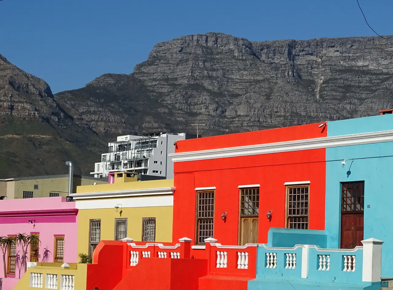
Photo: “Cape Town Bo-Kaap 02”, Ad Meskens / Wikimedia Commons, CC BY-SA 4.0 ( source) -
Franschhoek
75 km from the startWinelands night, 75 km from Cape Town city centre.
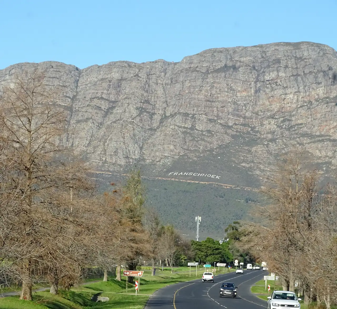
Photo: “Franschhoek 01”, Ad Meskens / Wikimedia Commons, CC BY-SA 4.0 ( source) -
Hermanus
168 km from the startWhale-watching town on the coast.
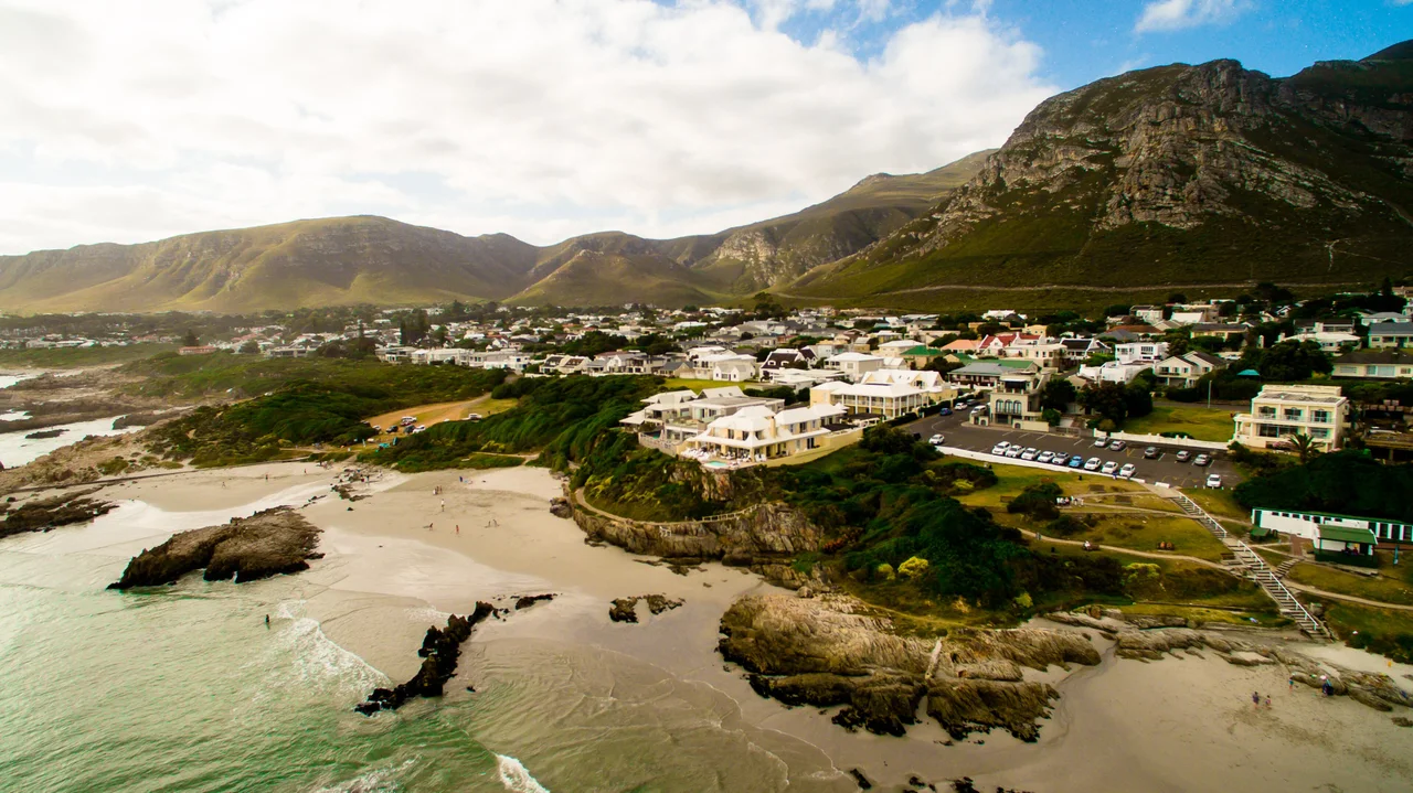
Photo: “Hermanus, Voelklip Beach”, Soaring Heights Imagery / Wikimedia Commons, CC BY-SA 4.0 ( source) -
Swellendam
312 km from the startLast stop before Route 62.
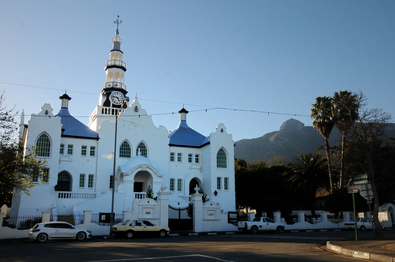
Photo: “SWE - Dutch Reformed Mother Church in Swellendam, South Africa, 2017”, Josep M. Gracia / Wikimedia Commons, CC BY-SA 4.0 ( source) -
Oudtshoorn
533 km from the startEnd of the long day on Route 62; Cango Caves next morning.
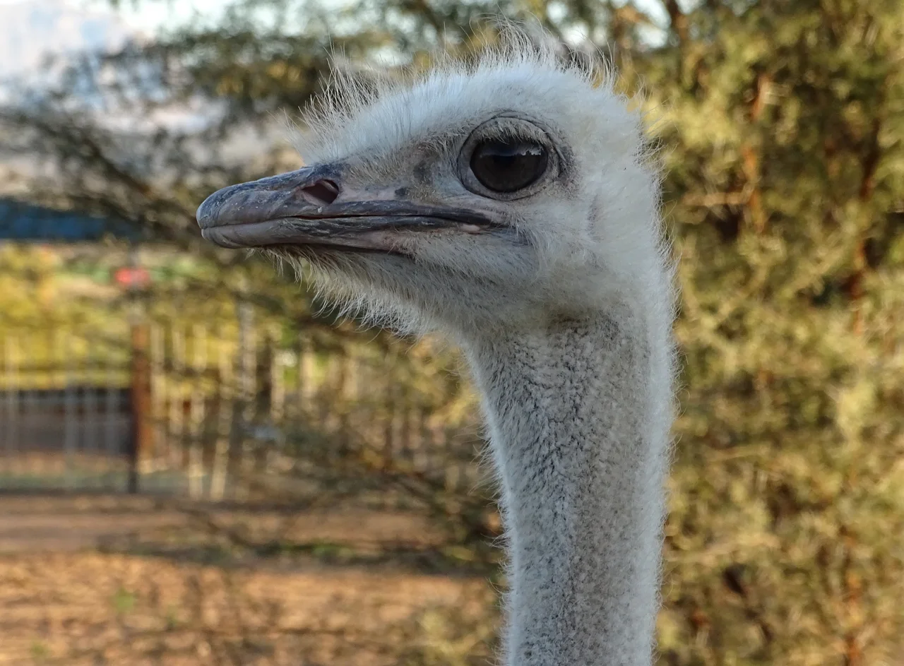
Photo: “Oudtshoorn Ostrich Farm 24”, Ad Meskens / Wikimedia Commons, CC BY-SA 4.0 ( source) -
Outeniqua Pass
578 km from the startThe N12 climb between Oudtshoorn and George.
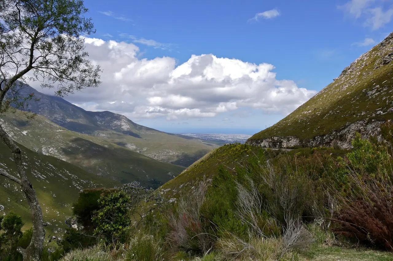
Photo: “George seen from Outeniqua Pass (31974275434)”, Bernard Dupont / Wikimedia Commons, CC BY-SA 2.0 ( source) -
Wilderness
607 km from the startFirst night on the Garden Route coast.
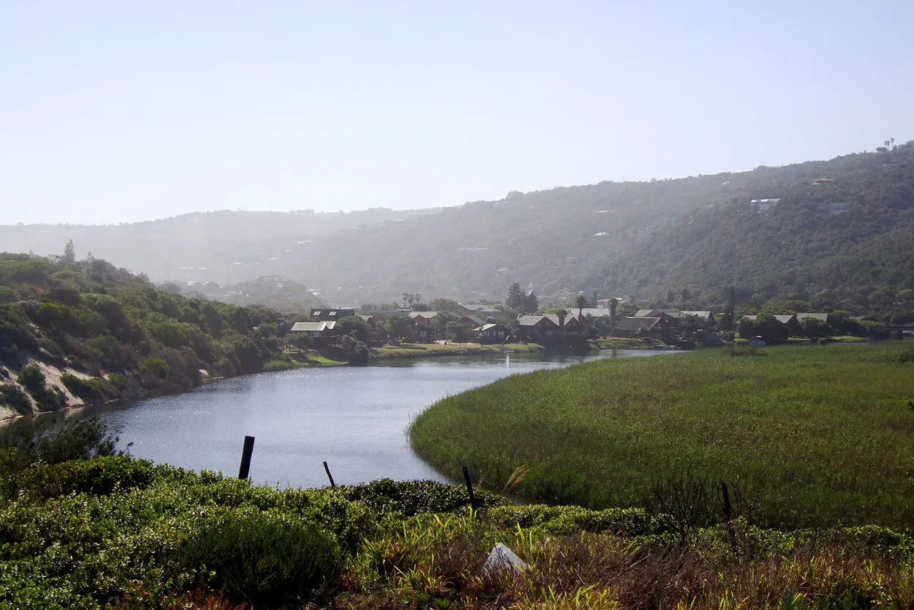
Photo: “Wilderness, Western Cape”, warrenski / Wikimedia Commons, CC BY-SA 2.0 ( source) -
Knysna
656 km from the startLagoon town and a short driving day.
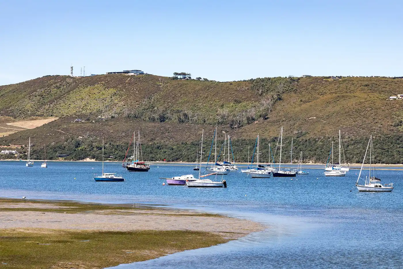
Photo: “Knysna (ZA), Knysna River, Marina -- 2024 -- 2305”, Dietmar Rabich / Wikimedia Commons, CC BY-SA 4.0 ( source) -
Plettenberg Bay
689 km from the startBeach stop on the way east.
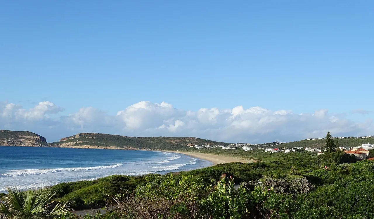
Photo: “Plettenberg Bay Beach 04”, Ad Meskens / Wikimedia Commons, CC BY-SA 4.0 ( source) -
Bloukrans Bridge
727 km from the startN2 bridge 216 m above the Bloukrans River.
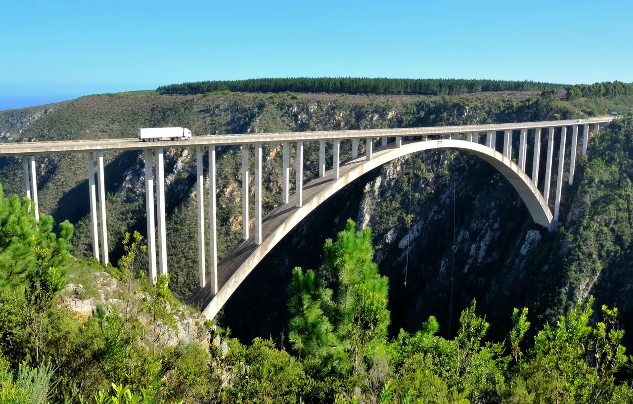
Photo: “Bloukrans Bridge N2”, Ossewa / Wikimedia Commons, CC BY-SA 4.0 ( source) -
Storms River
749 km from the startTsitsikamma night.
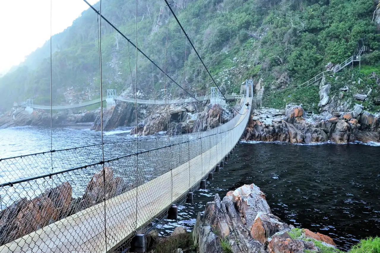
Photo: “Storms River Mouth (Tsitsikamma) Suspension Bridges 02”, Ossewa / Wikimedia Commons, CC BY-SA 4.0 ( source) -
Addo
972 km from the startElephant park, malaria-free.
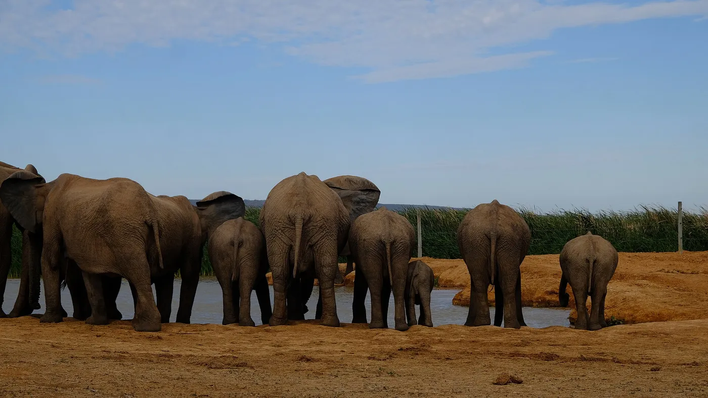
Photo: “The local elephant water hole”, Christo.goosen / Wikimedia Commons, CC BY 4.0 ( source) -
Gqeberha
1042 km from the startReturn the car here and fly on.
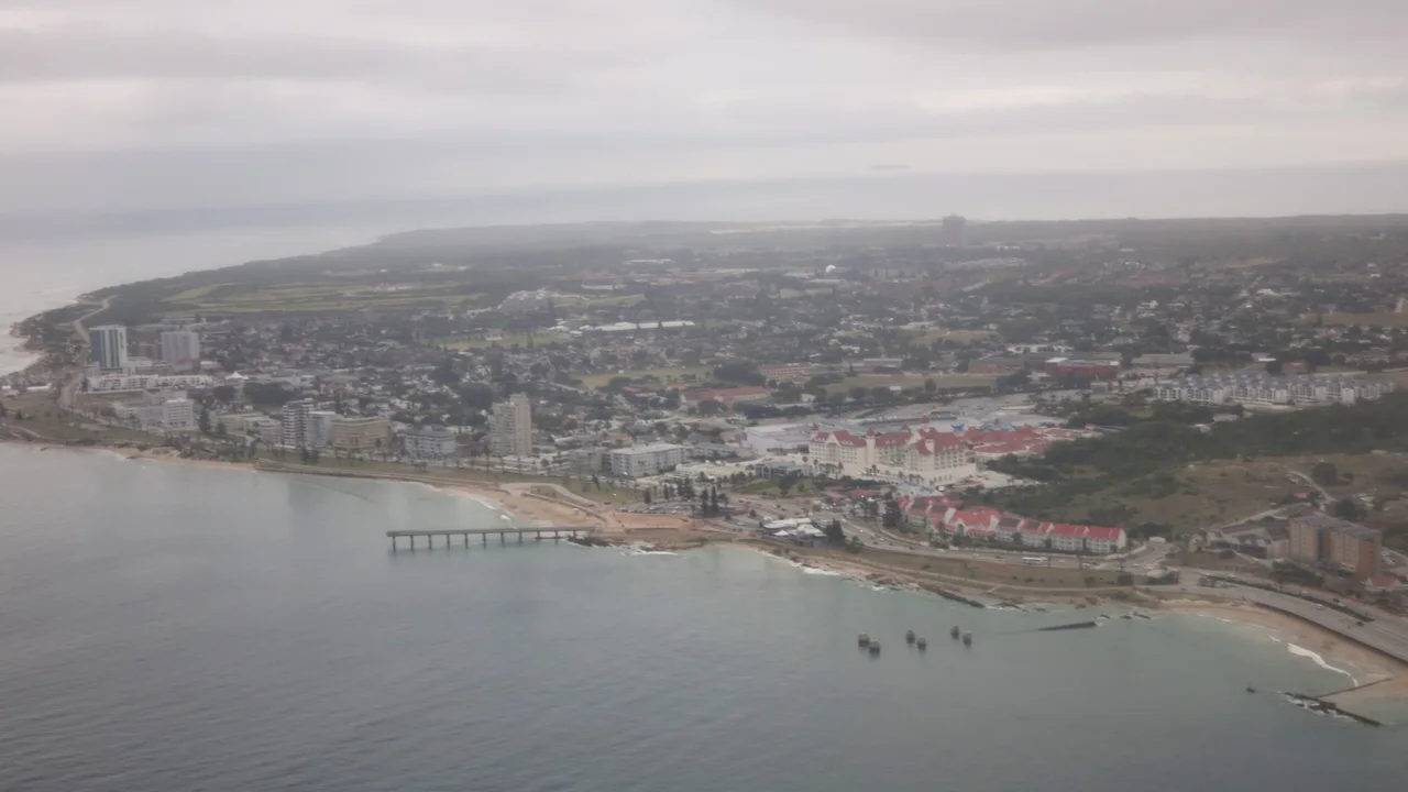
Photo: “Summerstrand viewed from the air February 2025”, Nick-D / Wikimedia Commons, CC BY-SA 4.0 ( source)
Route map
The map with the stops loads on click, to keep the page light.
The map didn’t load. Check your connection and refresh the page.